Lakeside Boathouse and Walkway Permit — Orlando (Windermere), FL
A Butler Chain boathouse held under the over-water cap with the NHWE contour and conservation line plotted — through a…
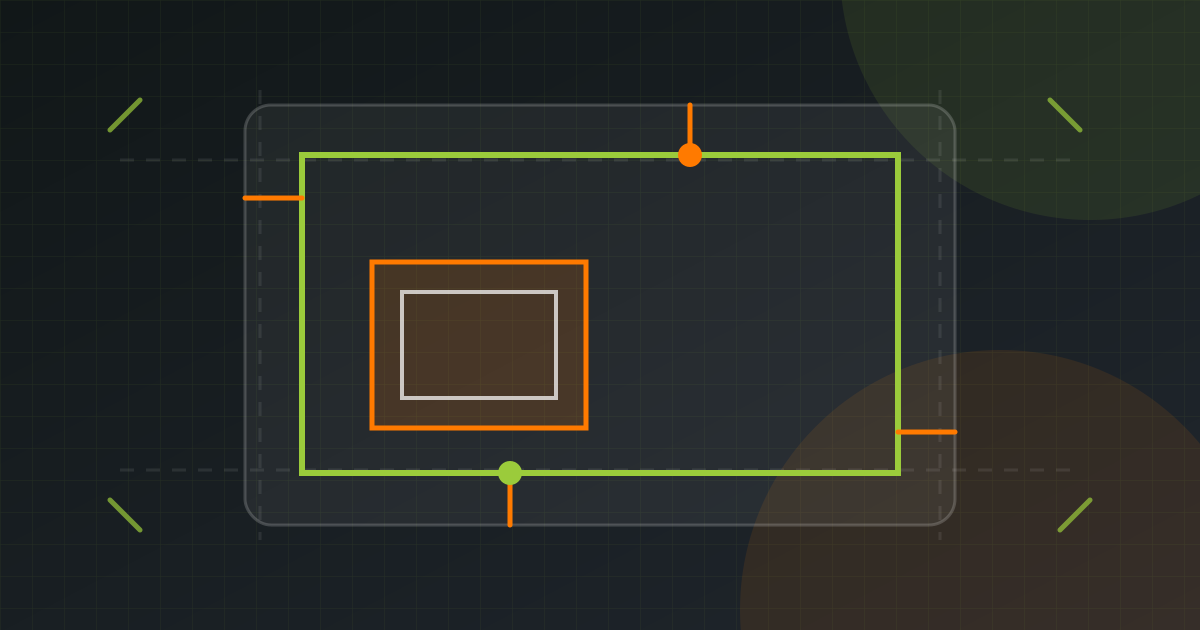
A river dock exhibit with correctly projected riparian lines, neutral zones, and channel clearances — approved by city and state on the first pass.
A private dock on the Ortega River needed a site exhibit showing the mean high-water line, riparian lines projected from the side lot lines, the dock and boat lift footprint, and distance to the navigation channel — for both city and state review.
We projected the riparian corridor per Florida convention, placed the 4×30 walkway and 12×24 terminal platform inside it with the required 10-ft neutral zone from each riparian line, and dimensioned the waterward extent against the 25% waterway-width rule.
Both reviews cleared without comment — unusual for waterfront work, where riparian-line errors cause most rejections.
Use these free planning tools for an early check, then confirm every limit, definition, and submittal requirement with the local authority having jurisdiction.
Local-rule reminder: tool results and project examples are planning aids, not an approval guarantee. Your building or planning department makes the final determination.