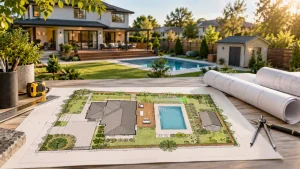
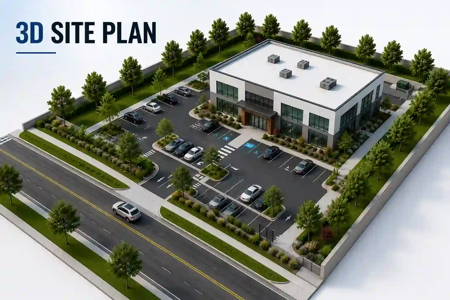
Traditional 2D site plans remain the standard for most residential and commercial permit applications, but modern construction projects increasingly benefit from 3D site plan modeling services. Whether you’re presenting a project to a homeowner association (HOA), seeking approval from a planning commission, marketing a new development, or helping clients visualize a future property, a three-dimensional model provides a clear understanding of the proposed design.
Unlike flat drawings, a 3D model illustrates building height, landscaping, grading, driveways, parking areas, utility layouts, and surrounding features from multiple perspectives. This allows property owners, architects, engineers, contractors, and permit reviewers to better understand how every element fits together before construction begins.
Although many building departments still require traditional 2D permit drawings, adding 3D site plan modeling services to your project can improve communication, reduce misunderstandings, support planning approvals, and create professional presentations for stakeholders.
Table of Contents
What Is a 3D Site Plan?
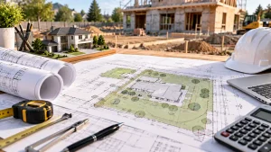
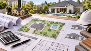
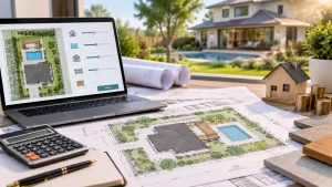
A 3D site plan transforms a traditional two-dimensional drawing into a realistic three-dimensional representation of your property. Instead of showing only property boundaries and measurements, it illustrates buildings, landscaping, terrain, driveways, retaining walls, utilities, sidewalks, parking areas, and other site features with depth and perspective.
A professional 3D site plan modeling service combines architectural drawings, survey information, grading plans, aerial imagery, and design specifications to create an accurate visual representation of the proposed project.
Depending on your project goals, a model can range from a simple bird’s-eye visualization to highly detailed photorealistic renderings that closely resemble the completed construction. These models help everyone involved in the project—including homeowners, developers, architects, engineers, contractors, and permitting officials—better understand the final design before construction begins.
Benefits of 3D Site Plan Modeling Services
One of the biggest advantages of 3D site plan modeling services is improved project communication. Many homeowners and clients struggle to interpret technical 2D drawings, but a realistic 3D model makes complex plans much easier to understand.
Key benefits include:
- Improves project visualization
- Helps identify potential design conflicts
- Enhances client presentations
- Supports HOA and planning approvals
- Simplifies communication with contractors
- Improves stakeholder confidence
- Assists marketing for new developments
- Creates professional presentation materials
- Reduces costly design misunderstandings
- Helps coordinate multiple project disciplines
By providing a realistic view of the finished project, 3D site plan models allow informed decisions to be made before construction begins, saving both time and money.
Types of 3D Site Visualization
Different projects require different levels of visualization. Choosing the appropriate modeling style depends on your budget, project complexity, and presentation goals.
3D Site Plan View
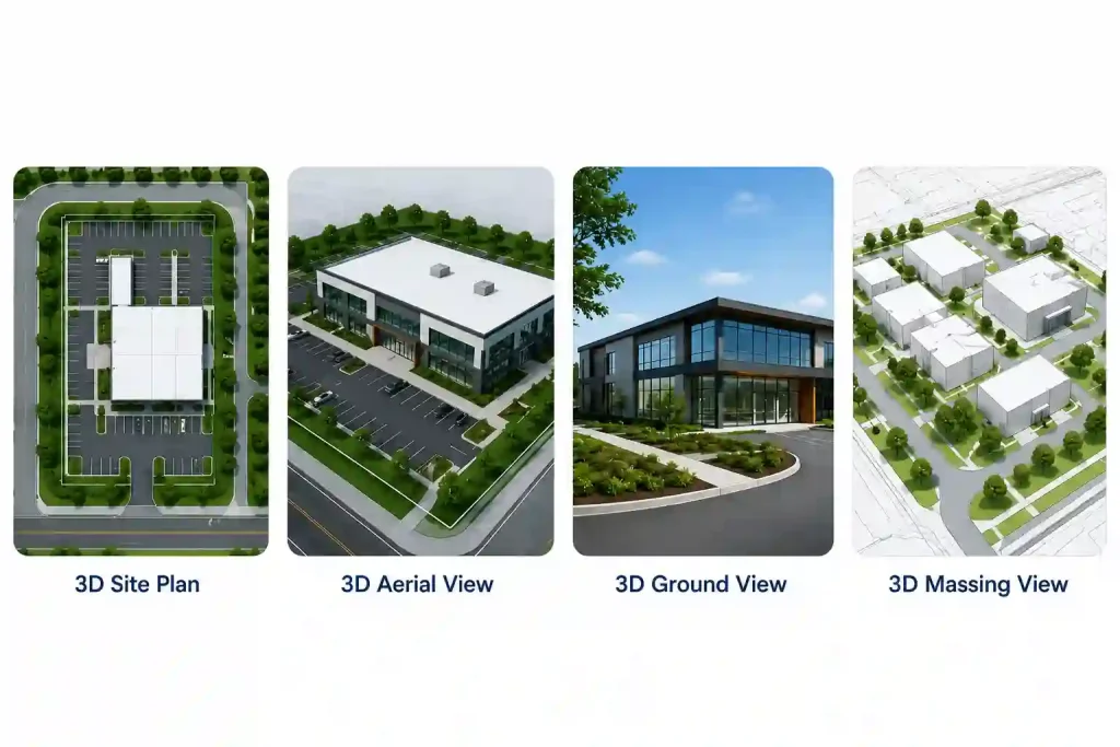
Traditional plan view but with elements shown in 3D perspective. Good for understanding spatial relationships. This is the most common option for residential permitting and planning presentations. This style helps viewers understand the overall property layout while maintaining technical accuracy.
It provides:
- Bird’s-eye perspective
- Building footprints
- Landscaping
- Driveways
- Property boundaries
- Elevation changes
- Outdoor living spaces
Aerial Perspective Rendering
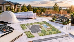
An aerial rendering displays the entire property from an elevated viewing angle. A view from above and at an angle, showing the entire site in context. Developers frequently use aerial renderings during project approvals and investor presentations.
It typically illustrates:
- Building placement
- Parking areas
- Roads
- Adjacent properties
- Trees
- Terrain
- Property access
- Site circulation
Street-Level Rendering
Street-level renderings simulate how the completed project will appear from public roads or neighboring properties. These renderings are especially useful during HOA reviews and architectural committee approvals.
They commonly show:
- Exterior finishes
- Building height
- Windows
- Landscaping
- Sidewalks
- Fencing
- Driveways
- Lighting features
Photorealistic Rendering
Photorealistic renderings produce highly detailed images that closely resemble completed construction. These renderings may include:
- Realistic materials
- Shadows
- Seasonal landscaping
- Outdoor furniture
- Vehicles
- People
- Lighting effects
- Environmental surroundings
When Do You Need 3D Site Plan Modeling?
Not every project requires a three-dimensional model. However, 3D site plan modeling services provide substantial value whenever project visualization plays an important role in approvals or presentations. Complex sites with multiple buildings, retaining walls, grading changes, or extensive landscaping often benefit the most from three-dimensional visualization.
They are particularly beneficial for:
- Custom home construction
- Commercial properties
- Office buildings
- Mixed-use developments
- HOA architectural reviews
- Planning commission hearings
- Resort developments
- Public facility improvements
- Residential subdivisions
HOA and Community Presentations
Many homeowners’ associations review proposed exterior improvements before granting approval. Because committee members are often not construction professionals, visual presentations can significantly improve communication compared to technical drawings alone.
A realistic 3D model helps committee members quickly understand:
- Building appearance
- Rooflines
- Landscaping
- Fence placement
- Driveway modifications
- Outdoor living spaces
- Property aesthetics
Planning Commission and Public Hearings
Municipal planning commissions frequently evaluate projects that may affect neighboring properties or community appearance. These visuals often simplify public presentations and help decision-makers better understand the proposed development.
Three-dimensional visualizations help demonstrate:
- Building massing
- Height relationships
- Shadow impacts
- Street appearance
- Open space
- Parking layouts
- Landscape screening
- Overall neighborhood compatibility
Marketing and Real Estate Development
Developers increasingly rely on 3D site plan models for marketing before construction begins. High-quality renderings enhance websites, brochures, digital advertisements, and sales presentations, making them valuable long after the permitting process is complete.
Potential buyers and investors can visualize:
- Community layouts
- Home placement
- Walking trails
- Recreation areas
- Clubhouses
- Green spaces
- Parking
- Streetscapes
3D Modeling for Permit Applications
Although most building departments continue to require traditional 2D permit drawings, 3D site plan modeling services can strengthen permit applications by providing reviewers with a clearer understanding of the proposed development.
Three-dimensional models are especially valuable for projects involving complex grading, multi-story structures, mixed-use developments, Historic preservations, or properties with unique site constraints. They help reviewers quickly visualize the relationship between buildings, landscaping, parking, utilities, and surrounding properties.
Many jurisdictions request or recommend 3D renderings for:
- Design review districts
- Historic preservation projects
- Planned developments
- Variance applications
- Conditional use permits
- Large commercial developments
- Public infrastructure projects
- Mixed-use communities
While a 3D model rarely replaces required permit drawings, it often serves as an excellent supplemental document that improves communication throughout the review process.
Factors That Improve 3D Site Plan Accuracy
The quality of a 3D model depends on the accuracy of the information used during development. A detailed and well-organized project package helps create realistic visualizations while reducing revisions. Providing complete project information ensures that the finished model closely represents the proposed construction.
Useful project information includes:
- Property survey
- Existing site plan
- Floor plans
- Building elevations
- Utility layouts
- Landscape plans
- Exterior material selections
- Driveway layouts
- Reference photographs
- Drone imagery when available
How We Create 3D Site Plan Models
Our 3D site plan modeling services combine accurate drafting with modern visualization software to produce realistic and permit-ready models.
The typical workflow includes:
Project Review
We review all available project documents, including surveys, architectural plans, sketches, and customer notes.
Digital Site Modeling
The property layout is recreated using accurate dimensions, boundaries, grading information, and existing site features.
Building Modeling
Proposed structures are modeled using architectural drawings, including walls, roofs, windows, doors, garages, and outdoor spaces.
Landscape Development
Trees, lawns, hardscapes, retaining walls, sidewalks, and planting areas are incorporated to reflect the proposed design.
Material Application
Exterior finishes, roofing materials, textures, colors, and architectural details are applied for realistic visualization.
Final Rendering
High-quality images are generated from multiple viewing angles suitable for permit presentations, HOA approvals, client meetings, or marketing materials.
Practical Permit Review Checklist
Before you submit your application, review the drawing as if you were the city plan reviewer. The plan should clearly show what already exists, what is being added, where the work will happen, and how the project fits within the property limits. For 3D site plan modeling services, the most important details are usually the property boundaries, accurate dimensions, setbacks, north arrow, project address, parcel information, and clear labels for existing and proposed work. These details help the reviewer understand the scope quickly and reduce avoidable correction comments.
- Confirm that the project address and owner information are correct.
- Check that proposed work is labeled separately from existing structures.
- Make sure setback distances are easy to read.
- Use consistent measurements across the site plan, floor plan, and any supporting drawings.
- Attach the plan in the format requested by your local building department.
How to Prepare Your Project Details
Preparing complete and accurate project information before requesting 3D site plan modeling services helps create a more precise visualization and reduces the need for revisions. Supplying the right documents also enables the drafting team to better understand your project and produce permit-ready models that match your design goals.
Be sure to provide the following details:
- HOA guidelines, planning department requirements, or previous permit drawings if available.
- Property address and a brief description of the proposed project.
- Existing site survey, site plan, and floor plans.
- Building elevations and preferred exterior materials or finishes.
- Utility information, landscaping concepts, and site features.
- Clear photos of the property along with any reference images.
Common Mistakes to Avoid
Many delays and unnecessary revisions happen because project information is incomplete or inaccurate before 3D modeling begins. Providing organized and up-to-date documents helps create a more accurate model while reducing errors during the design and permit review process. Carefully reviewing your project details before submission can save both time and money.
- Using outdated surveys or inaccurate property boundary information.
- Providing incomplete dimensions, setbacks, or grading details.
- Leaving out existing structures, utility layouts, or landscape features.
- Submitting poor-quality photos or unclear reference materials.
- Using inconsistent architectural drawings that do not match the site plan.
- Ignoring local building codes, zoning regulations, or design guidelines.
- Sending presentation images without the required technical drawings or supporting documents. requirements.
Ready to Visualize Your Project?
Whether you’re planning a residential addition, commercial development, subdivision, or large construction project, our 3D site plan modeling services help bring your ideas to life with clear, accurate, and professional visualizations.
Our team produces high-quality models for permit applications, planning presentations, HOA approvals, investor meetings, and marketing campaigns.
Why Choose Our Services?
- 24-hour turnaround available
- Starting at just $99
- reviewer-requested revisions within the original agreed scope
- Accurate permit-ready drawings
- Professional 3D visualization
- Experienced drafting specialists
- Fast online ordering
- Responsive customer support
- the published cancellation and refund policy
Request your free quote today and transform your project into a professional 3D visualization.
Ready to Get Your Permit-Ready Plans?
24–48-hour standard delivery · Starting at $99 · reviewer-requested revisions within the original agreed scope · the published cancellation and refund policy
Frequently Asked Questions
Can I use 3D renderings for a building permit?
Some cities accept or require 3D renderings for specific project types (design review, variance applications, etc.). Standard permits typically only require 2D drawings. Check with your building department if you’re unsure.
How long does 3D site plan modeling take?
Basic 3D site plan views can be created in 48–72 hours. Detailed photo-realistic renderings for complex projects take 3–7 business days.
What information do you need for 3D site plan modeling?
We need your site plan data plus design details — exterior materials, colors, landscaping preferences, and any reference images. The more detail you provide, the more accurate the rendering.
Can 3D renderings be updated if the design changes?
Yes. We can update renderings as the design evolves. Some clients prefer to wait until the design is finalized before commissioning 3D work to avoid revision costs.
Are 3D site plans suitable for marketing?
Absolutely. Developers, builders, and real estate professionals frequently use 3D site plan models in brochures, websites, investor presentations, and advertising campaigns to showcase projects before construction begins.
Related Permit Resources
Related Blog Guides