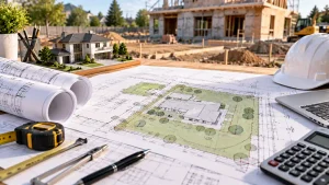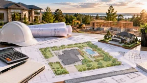
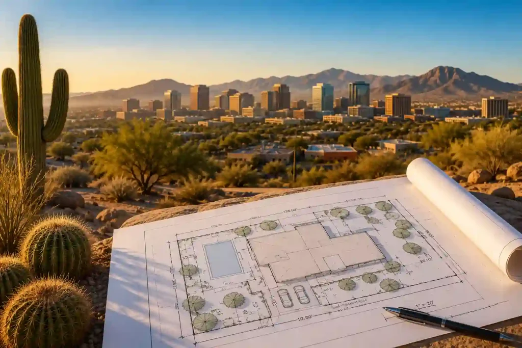
Planning a construction project in Phoenix involves more than choosing a building design or hiring a contractor. Whether you’re building a new home, adding a garage, constructing an accessory dwelling unit (ADU), installing a swimming pool, or developing a commercial property, you’ll likely need a complete site plan as part of your permit application. Understanding the phoenix site plan permit process before you apply can help you avoid unnecessary delays and move your project forward with confidence.
A site plan gives city reviewers a clear overview of your property and shows how the proposed construction fits within the lot. It typically identifies property boundaries, existing structures, setbacks, easements, driveways, utility connections, and other important site features. If you’re unfamiliar with permit drawings, learning what is a site plan can help you understand why this document is required. Because Phoenix properties often include unique desert conditions, your site plan may also need to account for drainage patterns, washes, grading, and natural terrain.
Fortunately, preparing a permit-ready site plan is much easier when you understand what local building departments expect. This guide explains when you need a phoenix site plan permit, what information should appear on the drawing, and how desert lot conditions can influence the permit review process.
What Is a Phoenix Site Plan Permit?
A phoenix site plan permit refers to the site plan submitted with a building permit application for residential or commercial construction in Phoenix. The site plan is a scaled drawing that illustrates both the existing layout of the property and any proposed improvements.
Additionally, the drawing shows how the project relates to surrounding property lines, neighboring buildings, public streets, utility easements, and required setbacks. By reviewing this information, city officials can determine whether the proposed construction complies with applicable development standards before issuing a permit.
A well-prepared site plan also reduces confusion during plan review because it presents important property information in a clear and organized format. As a result, reviewers can evaluate the project more efficiently and identify potential issues before construction begins.
Why Does Phoenix Require a Site Plan?
A site plan plays an important role in the building permit review process because it allows city officials to verify that a project meets local development requirements. Rather than reviewing the building alone, permit reviewers evaluate how the proposed construction fits within the entire property.
Furthermore, Phoenix’s desert environment presents unique challenges that can affect construction. Drainage channels, natural washes, sloped terrain, utility easements, and lot configurations often influence where buildings can safely be placed. Including these details on the site plan helps reviewers confirm that the project protects nearby properties and complies with applicable regulations. A complete site plan typically helps reviewers verify:
- Property boundaries
- Existing and proposed structures
- Required setbacks
- Driveways and parking
- Easements
- Utility locations
- Drainage features
- Access points
- Overall site layout
When Do You Need a Phoenix Site Plan Permit?
Many residential and commercial construction projects require a phoenix site plan permit during the application process. Although requirements vary depending on the scope of work, projects that change the layout of a property generally require a site plan. Common examples include:
- New home construction
- Home additions
- Detached garages
- Garage conversions
- Accessory Dwelling Units (ADUs)
- Swimming pools
- Patio covers
- Guest houses
- Storage buildings
- Commercial developments
- Tenant improvements
- Driveway modifications
- Major structural renovations
Even projects that appear relatively simple may require a site plan if they affect setbacks, drainage, parking, or utility access. Therefore, confirming permit requirements before construction begins can save considerable time later.
What Should a Phoenix Site Plan Include?
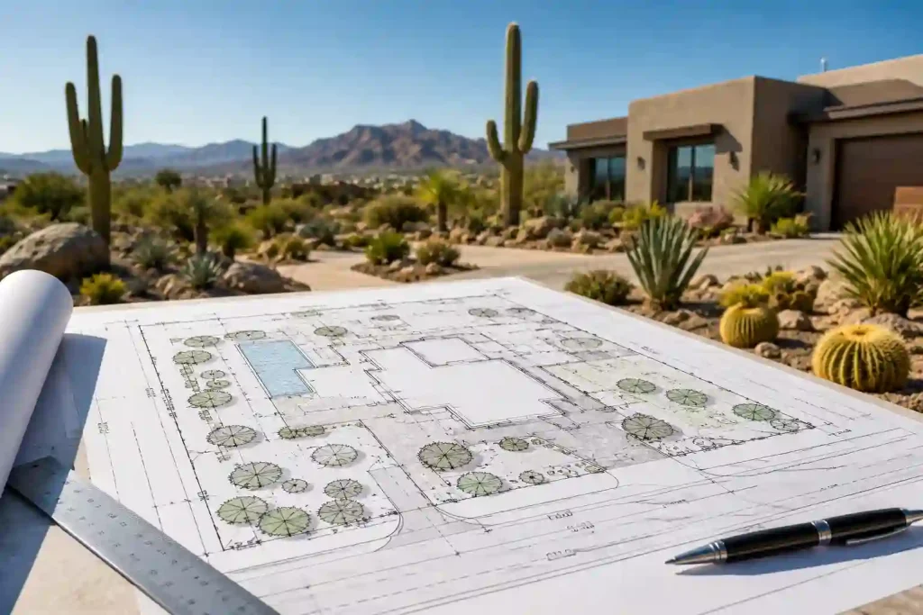
Submitting an accurate site plan improves the likelihood of receiving permit approval without multiple correction notices. Every drawing should contain enough detail for reviewers to understand both the existing property and the proposed improvements.
Property Boundaries
Accurate property boundaries form the foundation of every site plan. Clearly identifying lot lines and dimensions allows reviewers to verify setback compliance and confirm that the proposed construction remains within legal property limits.
Additionally, verified parcel information reduces the likelihood of measurement errors that could delay permit approval.
Existing Structures
Your site plan should identify every permanent structure currently located on the property. This includes houses, garages, sheds, patios, swimming pools, retaining walls, and accessory buildings. Showing all existing improvements provides reviewers with a complete understanding of the site and helps them evaluate how the new construction fits within the property.
Proposed Construction
Every proposed improvement should appear clearly on the drawing. New additions, garages, guest houses, patios, pools, and commercial buildings should be labeled separately from existing structures. Furthermore, using different line styles or shading makes it easier for reviewers to distinguish proposed construction from existing site conditions.
Setback Measurements
Setbacks are among the most carefully reviewed elements of every phoenix site plan permit application. Your drawing should clearly identify front, rear, and side setbacks using accurate measurements. Correct setback information demonstrates compliance with local development standards and significantly reduces the likelihood of permit revisions. Before finalizing your drawings, reviewing common site plan requirements can help ensure nothing important is missing. You can also calculate lot coverage early to verify your project stays within allowable development limits.
Easements
Utility, drainage, and access easements should appear whenever they affect the property. These protected areas often limit where new construction can occur. Including easements on the site plan allows reviewers to confirm that buildings will not interfere with existing infrastructure or legal access rights. Understanding easements on a site plan helps prevent conflicts that could delay permit approval.
Driveways and Parking
Driveways, sidewalks, parking spaces, and vehicle access points should be shown whenever they relate to the proposed project. This information helps reviewers evaluate traffic flow, accessibility, and emergency vehicle access. Additionally, clear driveway layouts reduce questions during permit review and support a more efficient approval process.
Utilities
Utility connections should also appear whenever they are relevant to the project. Water service, sewer connections, electrical service, gas lines, stormwater drainage, and communication utilities all contribute to a complete site plan. Showing these features early in the planning process helps identify potential conflicts before construction begins and supports a smoother permit review.
Desert Lot Considerations Explained
One of the biggest differences between Phoenix and many other cities is its desert landscape. While flat residential lots are common, many properties contain natural features that require additional planning before construction begins. Understanding these conditions early can help property owners prepare a more accurate phoenix site plan permit application and reduce unnecessary revisions during plan review.
Natural Washes
Some Phoenix properties contain natural drainage channels, commonly known as washes. These areas help move stormwater during heavy rainfall and may restrict where buildings or other improvements can be placed.
Therefore, identifying washes on the site plan allows reviewers to verify that the proposed construction will not interfere with natural drainage patterns.
Drainage and Grading
Although Phoenix has a dry climate for much of the year, intense seasonal storms can produce significant runoff. Proper drainage planning helps protect both your property and neighboring lots from flooding or erosion.
Including grading information, drainage paths, and stormwater features on the site plan demonstrates that the project has considered these important site conditions.
Desert Landscaping
Many Phoenix properties use drought-tolerant landscaping instead of traditional lawns. Existing landscape features, irrigation systems, and protected vegetation may influence the placement of new structures.
Consequently, identifying these elements on the site plan can help avoid conflicts during construction while preserving important site features.
Hillside and Sloped Lots
Some areas around Phoenix include hillside or sloped properties that require additional grading and foundation planning. These sites often need more detailed measurements to demonstrate that the proposed construction will remain stable and comply with local development standards.
Accurately documenting elevation changes also helps reviewers evaluate drainage patterns and building placement before approving the permit.
Corner Lots
Corner properties often have additional visibility and setback requirements because they border multiple streets. As a result, building placement, driveway access, and landscaping may require extra attention during site planning.
Preparing an accurate site plan helps demonstrate that the project complies with these unique development conditions while minimizing the need for revisions.
Step-by-Step Phoenix Building Permit Application Process
Applying for a building permit in Phoenix becomes much easier when you understand each stage of the process. Although every project has unique requirements, most residential and commercial applications follow a similar workflow. Preparing a complete phoenix site plan permit package from the beginning helps reduce corrections and keeps your project moving toward approval. Following a permit submission guide before applying can help you gather the correct documents from the start.
1. Confirm Whether Your Project Requires a Permit
Before starting construction, determine whether your project requires a building permit. New homes, room additions, detached garages, swimming pools, guest houses, commercial buildings, and many structural renovations typically require approval before work begins.
Additionally, reviewing permit requirements early allows you to gather the correct documents and avoid unnecessary delays during the application process.
2. Prepare a Complete Site Plan
A professional site plan is one of the most important documents included with your permit application. It should accurately identify property boundaries, existing structures, proposed construction, setback measurements, easements, utility connections, driveways, and other important site features.
Providing complete and accurate information helps reviewers understand your project quickly while reducing the likelihood of correction notices. A detailed permit drawings guide explains which drawings are commonly required for residential permit applications.
3. Submit Your Permit Application
After preparing your site plan and supporting documents, submit your permit application for review. Depending on the project, you may also need architectural drawings, engineering calculations, grading plans, or energy compliance documents.
Submitting a complete application package from the beginning helps prevent unnecessary revisions and allows reviewers to evaluate your project more efficiently.
4. Respond to Review Comments
During plan review, city officials carefully examine your documents to verify compliance with applicable regulations. If reviewers identify missing information or inconsistencies, they will issue comments requesting revisions.
Therefore, responding promptly and addressing every comment thoroughly can help keep your application on schedule.
5. Receive Permit Approval
Once your documents satisfy all applicable requirements, the building permit can be approved. Only after receiving approval should construction begin on the property.
Keeping the approved plans available during construction also helps inspectors verify that the work matches the permitted design.
Common Reasons Phoenix Site Plan Permits Get Delayed
Even well-prepared applications sometimes experience delays because of small but avoidable mistakes. Fortunately, reviewing your site plan carefully before submission can reduce the number of correction notices and improve your chances of first-time approval.
Missing Property Dimensions
Incomplete or inaccurate property measurements make it difficult for reviewers to verify setback compliance and building placement. Therefore, always include precise lot dimensions on your site plan before submitting the application. Many permit delays result from common site plan errors that can be avoided before submission.
Incorrect Setback Measurements
Even minor setback errors can delay permit approval and require updated drawings. Double-checking all setback measurements before submission helps reduce revisions and speeds up the review process.
Missing Existing Structures
Every permanent improvement on the property should appear on the site plan, including garages, sheds, patios, retaining walls, and swimming pools. Leaving out these features often results in additional review comments.
Unclear Proposed Improvements
Clearly distinguish proposed construction from existing structures by using labels or different line styles. This approach allows reviewers to understand the project more quickly and reduces the need for clarification.
Missing Easements
Utility, drainage, and access easements should always appear whenever they affect the property. Otherwise, reviewers may request revisions before approving the permit application.
Poor Drawing Quality
A cluttered or difficult-to-read site plan slows the review process and increases the likelihood of corrections. A clean, professionally prepared drawing presents information more clearly and helps reviewers evaluate the project with confidence.
How Much Does a Phoenix Site Plan Cost?
The cost of preparing a site plan depends on several factors, including property size, project complexity, and the amount of information required for the permit application. Additionally, projects involving hillside lots, drainage planning, or expedited turnaround may require extra preparation. Several factors can influence the final cost, including:
- Residential or commercial property
- Lot size
- Number of existing structures
- Proposed improvements
- Drainage or grading requirements
- GIS mapping requirements
- Additional zoning research
- Expedited turnaround
Ultimately, working with an experienced provider often reduces costly revisions and saves valuable time during permit review. As a result, investing in a professionally prepared site plan can simplify the approval process and provide greater confidence before construction begins.
Should You Prepare Your Own Site Plan?
Some homeowners choose to prepare their own site plans for smaller residential projects. However, creating an accurate drawing requires reliable property measurements, careful attention to detail, and a clear understanding of local development requirements.
Professional GIS-based site plans combine verified parcel information with accurate mapping data to create clear, permit-ready drawings. In addition, professionally prepared plans often make the review process easier because they present information in a format that reviewers can evaluate quickly. If you’re creating your own drawings, learning how to read a site plan can help you identify missing information before submission.
Why Professional Site Plans Improve Permit Approval
A professional phoenix site plan permit package provides much more than a simple property sketch. It organizes important information into a clear, accurate, and easy-to-read drawing that supports the permit review process.
Professional site plans typically include verified property boundaries, setback measurements, easements, utility locations, existing improvements, proposed construction, and accurate dimensions. Consequently, reviewers can evaluate applications more efficiently while reducing the likelihood of correction requests. A complete professional permit drawing package can reduce revisions and make the review process more efficient.
Final Thoughts
Preparing a complete phoenix site plan permit application is one of the most important steps toward a successful construction project. A detailed site plan helps reviewers verify property boundaries, setbacks, easements, drainage features, utility connections, and proposed improvements while demonstrating compliance with local development requirements. If you’re planning a residential project, our Residential Site Plan Services provide permit-ready drawings prepared with verified parcel data.
Whether you’re building a custom home, adding a guest house, constructing a detached garage, or developing a commercial property, investing in a professionally prepared site plan can reduce permit delays and improve your chances of first-time approval. For projects that must comply with local development rules, learn how to prepare a site plan for zoning compliance before submitting your application. Our team creates accurate GIS-based site plans using verified parcel data, fast turnaround times, and reviewer-requested revisions within the original agreed scope to help homeowners, contractors, architects, and developers submit permit applications with confidence.
Frequently Asked Questions
Do I need a site plan for every Phoenix building permit?
Not every project requires a site plan, but many residential and commercial developments do. Projects such as new homes, room additions, detached garages, guest houses, swimming pools, and commercial improvements commonly require a site plan because they affect the overall layout of the property.
What should a Phoenix site plan include?
A complete site plan typically includes property boundaries, lot dimensions, existing and proposed structures, setback measurements, easements, driveways, parking areas, utility locations, streets, and a drawing scale. Including these details allows reviewers to evaluate your project more accurately and efficiently.
Why are desert lot conditions important?
Desert properties often contain unique features such as natural washes, drainage channels, sloped terrain, and drought-tolerant landscaping. Identifying these conditions on your site plan helps reviewers verify that the proposed construction will not create drainage issues or interfere with protected site features.
Are GIS-based site plans accepted for permit applications?
GIS-based site plans are commonly used because they combine official parcel information with high-resolution mapping data. However, acceptance ultimately depends on the reviewing authority and the specific requirements of your project.
Can I use Google Maps instead of a professional site plan?
No. Google Maps does not provide the detailed measurements, parcel boundaries, setback information, or easement details typically required for building permit applications. A permit-ready site plan should include accurate dimensions and clearly labeled site features.
What causes the most permit delays?
Incomplete site plans, incorrect setback measurements, missing structures, poor drawing quality, and omitted easements are among the most common reasons permit applications receive correction notices.
How can I improve my chances of first-time approval?
Preparing a complete application, verifying all measurements, clearly labeling proposed construction, and including every required document can significantly reduce revisions. Additionally, reviewing your site plan carefully before submission helps identify errors early.
Can a professional site plan save time?
Yes. Professionally prepared site plans are typically easier for reviewers to understand because they include accurate measurements, organized layouts, and verified parcel information. As a result, many projects move through the permit review process more efficiently.
Related resources: Phoenix site plan service and site plan for permit service.